July 12, 2008
Last updated: 7/13/08 9:00pm PT
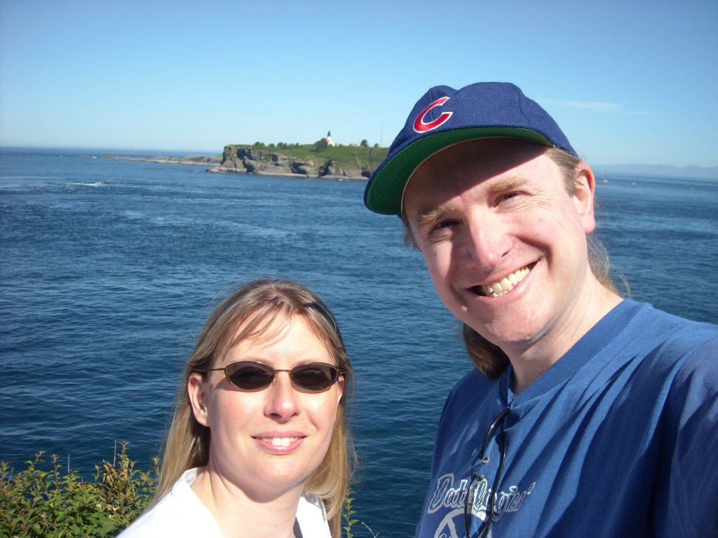
I threatened that we would do this last year, but it just didn’t fit into life. So this weekend we drove to Cape Flattery, the northwestern most point in the contiguous 48 states. This little corner of the country is the Makah Indian Reservation. In the past, the native people lived on the beach. Back in the ’70s, a mudslide exposed old houses that were buried by an earlier mudslide, about 500 years ago. Some of the relics found at this site are now in the museum in Neah Bay. We stopped there after we hiked to the coast, no pictures were allowed.
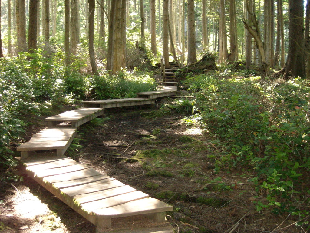
Neah Bay is about an hour and a half from Port Angeles. Once there, it’s about a 10-15 minute drive to the end of the road. They paved this last 4 miles in 2007, so it’s a pleasant drive. The hike is fairly easy, about 20 minutes one way and uphill on the way back, only gaining about 75 feet in elevation. The trail is a combination of dirt and wooden walkways. 

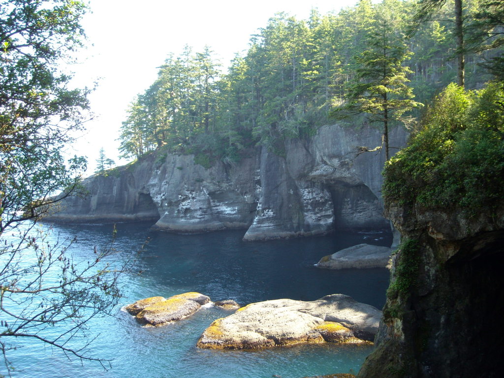
 The coast

 Vancouver Island, BC, Canada
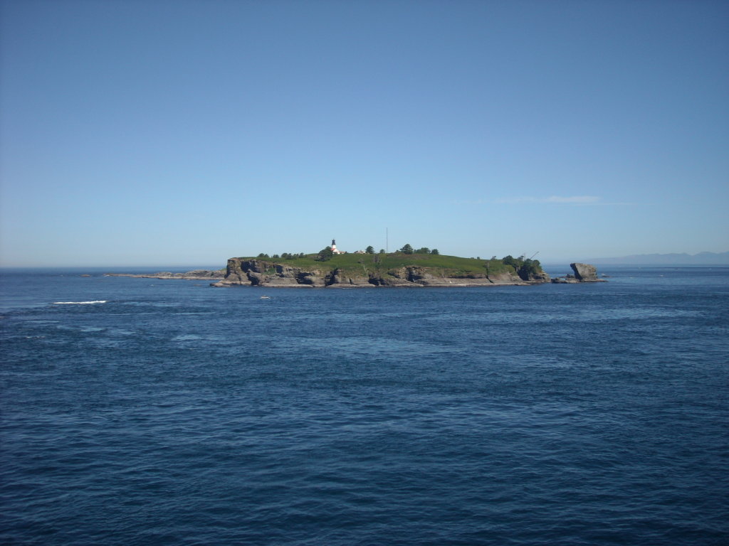
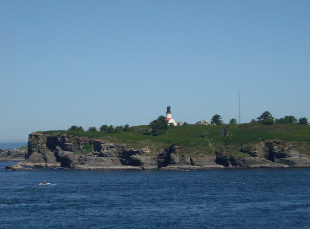
 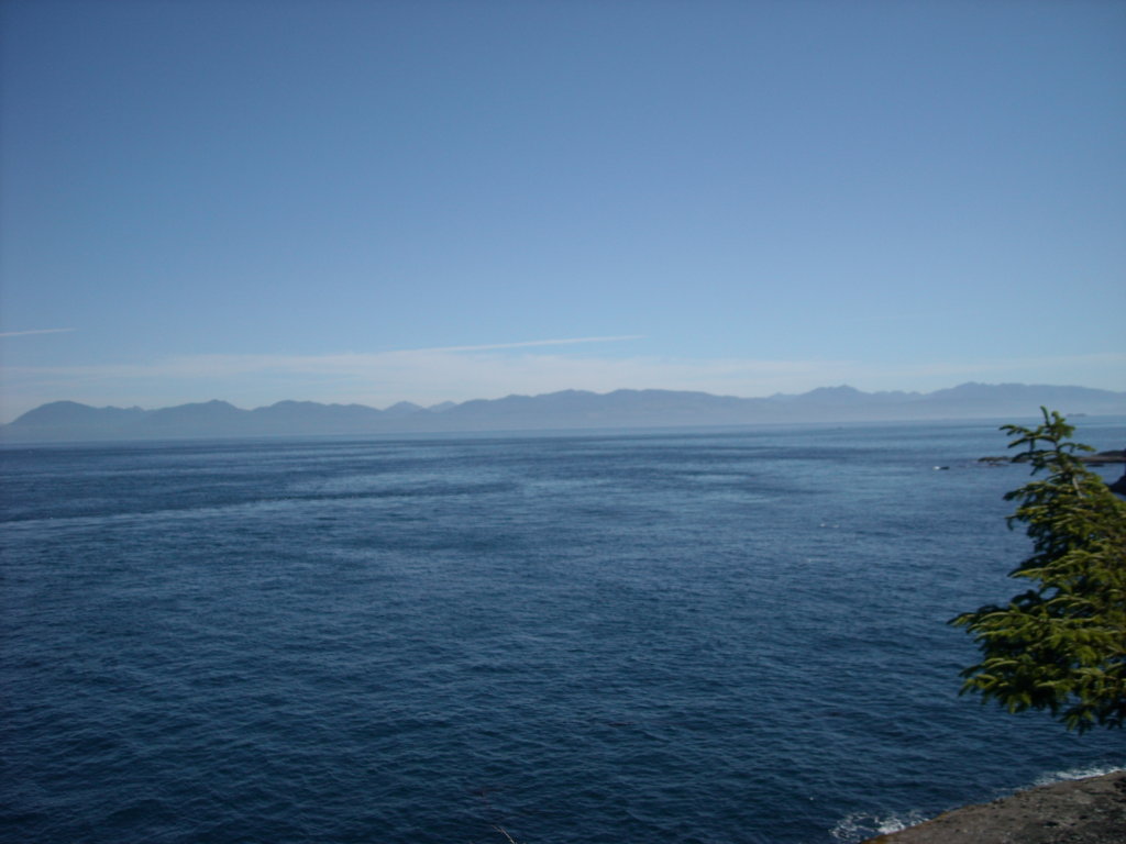 The farthest northwest point is Tatoosh Island, but since it’s not connected to the contiguous US, we are standing at the farthest northwest point.