June 25, 2016
Last updated: 7/2/16 4:00pm PT
Washington State Driving Tour
We went on a 3 day, 2 night driving tour around Washington state. We tried not to have a plan, other than to drive over the mountains and see some of Eastern Washington before heading down to the Columbia River, then back to Western Washington. We drove north to Burlington, headed east on the North Cascades Highway, wiggled around in Eastern Washington, mostly heading south, turning west at the Columbia River, then north to go home. (There are more pictures of me this time because Denise was working the camera. We’ll need to discuss this for future trips.)
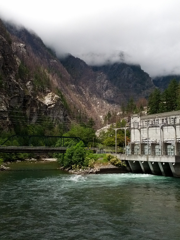
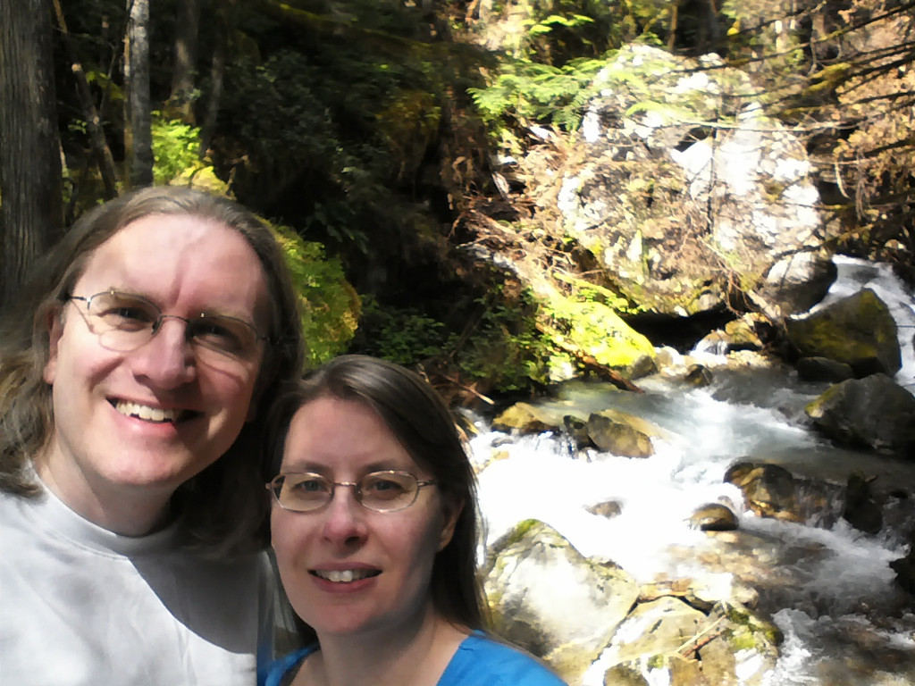
The North Cascades Highway is usually closed between November and May due to excessive amounts of snow. When it’s open, it’s a pretty drive with waterfalls and lakes (oh yeah, mountains too). First stop is the Gorge Powerhouse and Ladder Creek Falls.

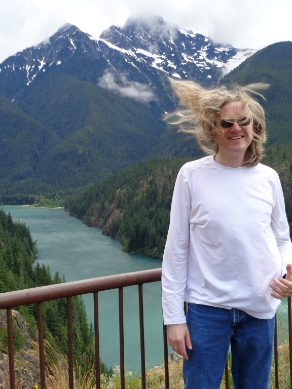
 We stopped at Diablo Lake for a windy scenic view.
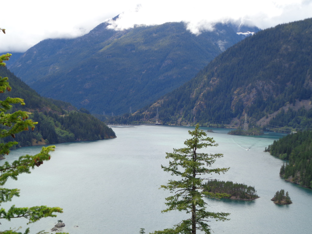
 At Rainy Pass (elev. 4875 ft) there was still some snow on the ground.
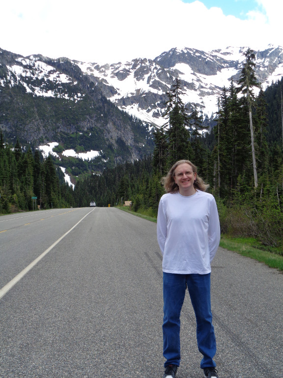

Cities we drove through in Eastern Washington: Chelan, Moses Lake, Wenatchee, Leavenworth, Ellensburg, and Yakima. We tried to take smaller back roads. Two of the better scenic drives were on Moses Coulee Road and the Yakima Canyon Road.
During one part of our drive it rained and we saw a rainbow. A complete rainbow, where you could see both ends of the rainbow touching the ground. We see quite a few partial rainbows in Seattle, but I think this is the first time we could see the whole thing. Of course the camera’s lens isn’t wide enough to capture the whole thing.
 We also visited George Washington. I should probably type that as: George, WA. There is a small town named George in the state of Washington. This bust of the former president is in front of a gas station.
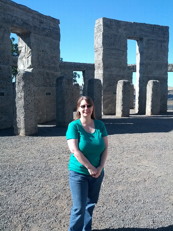
  Along the Columbia River, there is a Stonehenge replica which was built as a WWI memorial. That’s Mount Hood in the background of the middle picture, and the moon is in the sky.
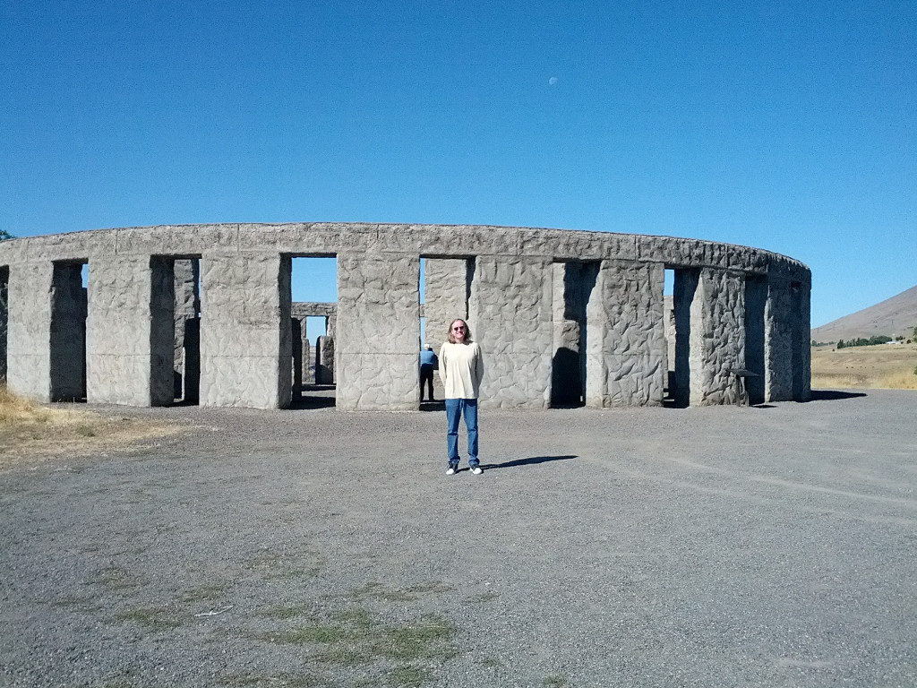

 On the Oregon side of the Columbia River is Historic Route 30, which in some parts has the label of “Waterfall Alley”. We were driving through on a sunny Saturday, and luckily heading west. There was a ton of traffic backed up heading east, probably coming from Portland. The main attraction is Multnomah Falls. There is very little parking here. We’d seen this before so we thought we’d skip it this time, but as we were driving past a parking space opened and we ducked right in. The last time we were here it wasn’t so sunny.


 A view of the Columbia facing west.
  South of Olympia, WA are the Mima Mounds. No one really know how these mounds were formed. We were elevated on a platform to take these pictures.
