Day 2 - Sep 4, 2005
Last updated: 10/15/05 3:00pm PT
Night one was in Baker City at the slightly noisy Best Western Sunridge Inn. Today we drove the Hells Canyon Scenic Byway. Well, half of it anyway. It’s a big loop, and we only did the half that goes past Hells Canyon. Then we went north into Washington, then east to Idaho.
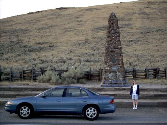
Heading east out of Baker City, near the Oregon Trail Interpretive Center, is a memorial to the people who lost their lives traveling the Oregon Trail.
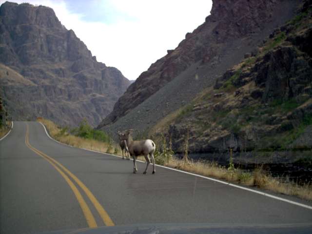
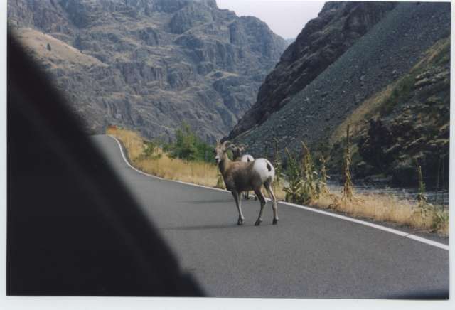
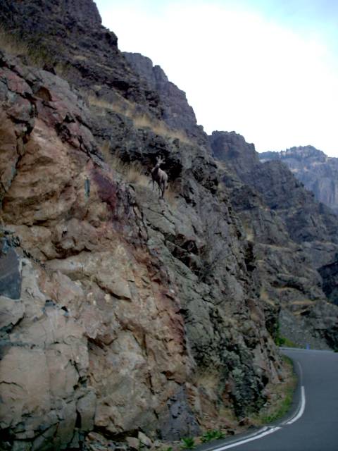
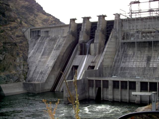
First real stop is the Hells Canyon Dam. When you get to the Oregon border, you cross a bridge into Idaho. Then you drive 20 miles north to the dam, which you drive across, back into Oregon, to get to the visitor’s center. We had to wait a while to get to the visitor’s center because there were 2 big horn sheep in the road.
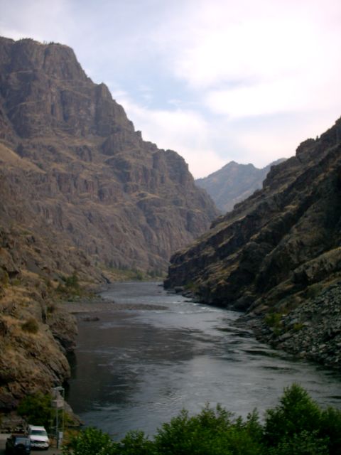
Here’s the dam and the Snake River. The rock exposed on the sides of the river is 300 million years old and was formed in the Pacific near the equator.
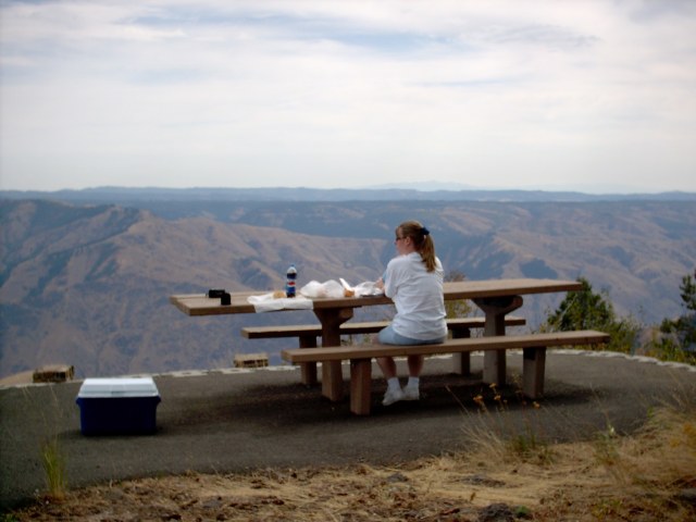
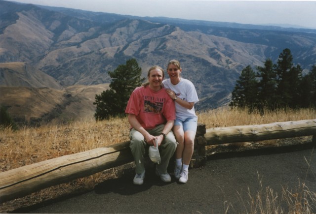
Lunch with a view. There are many lookouts into Hells Canyon. This one is not only the best that we came across, but is also probably the easiest to get to. As part of the Hells Canyon Scenic Byway, follow the signs to the Hells Canyon Overlook, just off Hwy 39.
I tried to merge two pictures together to make this panorama.

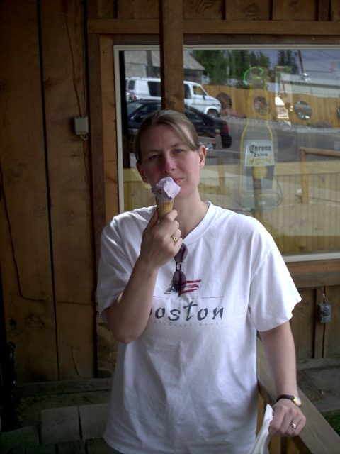
Ice cream in Joseph, OR.
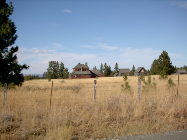
In Enterprise, OR, we left the scenic byway and headed north on Hwy 3. 38 miles north is an alleged ghost town called Flora. I say alleged, because, while there were a lot of old worn out buildings, I’m not sure all of them were abandoned.
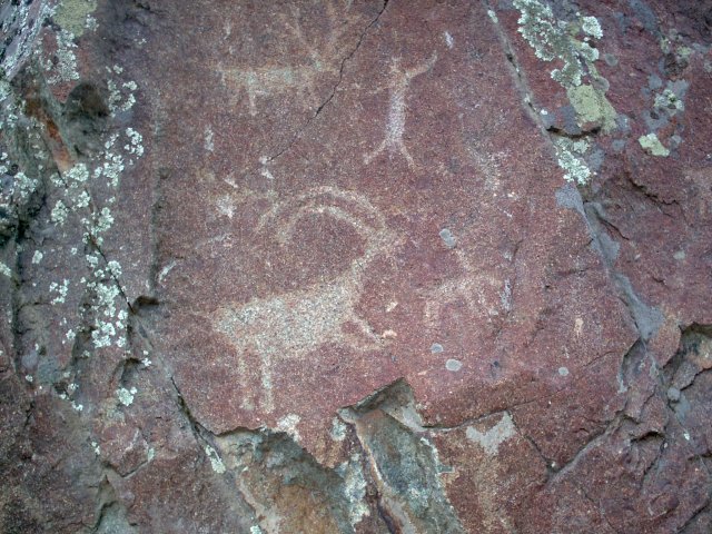
So while researching this trip, I found a website that talked about petroglyphs left by Native Americans many years ago. The Buffalo Eddy petroglyphs are in the southeastern corner of Washington state, about 14 miles south of Clarkston, along the Snake River. I found two descriptions about how to get there, one saying to go a mile past the rocky outcropping and white sand beach. Needless to say there are quite a few rocky outcroppings. We were slowing down every few feet and asking ourselves, “Is this it?”. Here’s the simpler directions: Go to Asotin, WA. Go on County Road 209/Snake River Rd. until you see the *SIGN* for the Buffalo Eddy Petroglyphs. If I would have know there was a sign…. The site is very cool. There aren’t may petroglyphs left.